Projekt PoliRuralPlus, financovaný z programu Horizont Evropa, rozvíjí a dále prohlubuje výsledky svého předchůdce, projektu PoliRural, a podrobněji se zabývá komplexními vazbami mezi venkovskými a městskými oblastmi.
Projekt využívá pokročilý soubor digitálních nástrojů, včetně umělé inteligence (AI), geografických informačních systémů (GIS), internetu věcí (IoT) a pokročilé analýzy dat. Jeho hlavním cílem je řešit přetrvávající problémy, jako jsou administrativní roztříštěnost, nerovnosti a neefektivní koordinace veřejných služeb, a podpořit tak lepší spolupráci napříč venkovskými a městskými oblastmi.
Klíčovou součástí projektu PoliRuralPlus je devět pilotních projektů, které slouží jako testovací prostředí pro integrovaný přístup k územnímu plánování a předvídání budoucího vývoje na úrovni celé EU. Projekt zároveň ambiciózně rozšiřuje svůj záběr o městskou dimenzi, a přináší tak širší pohled na územní rozvoj.
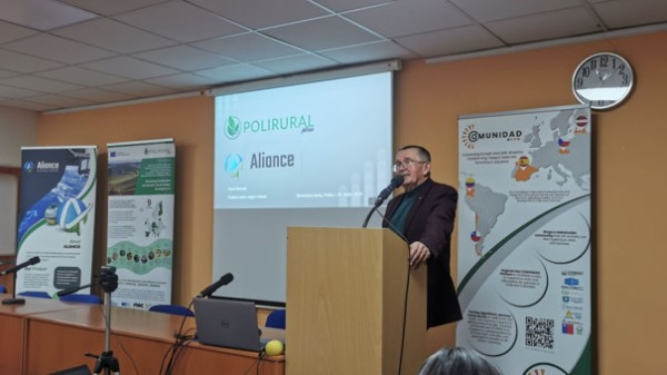
O projektu jsme hovořili s Karlem Charvátem.
What is your role in the project?
The Czech Centre for Science and Society (CCSS) serves as the main technical coordinator of the project. CCSS leads the technical implementation, ensuring integration of advanced digital tools such as AI, GIS, IoT, and GeoAI across all pilot regions. It also supports data management, methodological alignment, and stakeholder engagement, building on its experience from the H2020 PoliRural project.
Plan4all z.s. plays an important role in facilitating open calls for third parties that support innovation uptake across Europe. In parallel, it leads the Czech–Bavarian cross-border pilot, which tests PoliRuralPlus tools and methods to strengthen rural–urban linkages, stakeholder collaboration, and digital foresight for regional development.
Could you highlight the results achieved so far?
Together with other project partners, CCSS has advanced the project’s digital and analytical framework into the Spatial Enhanced Attractiveness Mapping Toolbox. This collaboration has ensured smooth data exchange, interoperability, and technical alignment across all pilot regions. Our key results include: a Jackdaw GeoAI platform for advanced territorial analysis and visualisation, a shared digital ecosystem connecting satellite, LPIS, and IoT datasets with policy and planning tools, data harmonisation and foresight processes supporting nine European pilot regions or an Action-Foresight framework, linking innovative digital tools with evidence-based policymaking. We are also introducing new view on future Agriculture Knowledge Information System (AKIS).
Through the JackDaw AI-assisted spatial analytics platform, the Regional Foresight and Action Planning Tool, and open data portals such as the Rural Attractiveness GeoHub (GEORAG), the project enables evidence-based policymaking, participatory governance, and effective monitoring of rural–urban development. By integrating FAIR-compliant data spaces, satellite and IoT data, and AI-driven analytics, these tools transform complex territorial information into actionable insights, supporting more inclusive, sustainable, and balanced regional growth across Europe.
What would you recommend to those interested in participating in Horizon projects, and what barriers (if any) have you encountered?
We recommend building strong, complementary partnerships and defining clear roles early in the proposal process. Understanding EU priorities and dedicating time to quality proposal preparation are key to success. The main barriers we’ve faced include administrative complexity, differences in partners’ capacities, and coordination across multidisciplinary teams. Technical challenges such as data interoperability can also arise but are manageable through good communication and planning.
Despite these hurdles, Horizon projects offer great opportunities for innovation, collaboration, and long-term European impact.
Is there an advantage having the Czech coordinator - Czech Technical University in Prague?
Yes, Czech Technical University in Prague (Faculty of Information Technology) brings strong technical expertise, proven EU project experience, and leadership in AI, data analytics, and digital innovation. Its coordination ensures high-quality results, efficient teamwork, and a solid foundation for achieving PoliRuralPlus objectives across all partners.